DESCRIPTION
Mount Barker is on the Albany Highway about 360 km from Perth and just 50 km north of Albany.
Although the town is located only 50 kilometres north of Albany it has a considerably different climate. While Albany can be getting drenched by rain,
Mount Barker can be bathed in sunshine.
The area has become an important wine region after first test plantings were carried out in the 1960s. today more than 23 vineyards operate in the
Mount Barker and Denmark region.
Wheat, Sheep, Cattle and timber are also important industries in the area along with a very healthy tourism sector.
There are some stunning natural attractions almost on the doorstep of the town with the best known being the Porongurup
and Stirling Range.
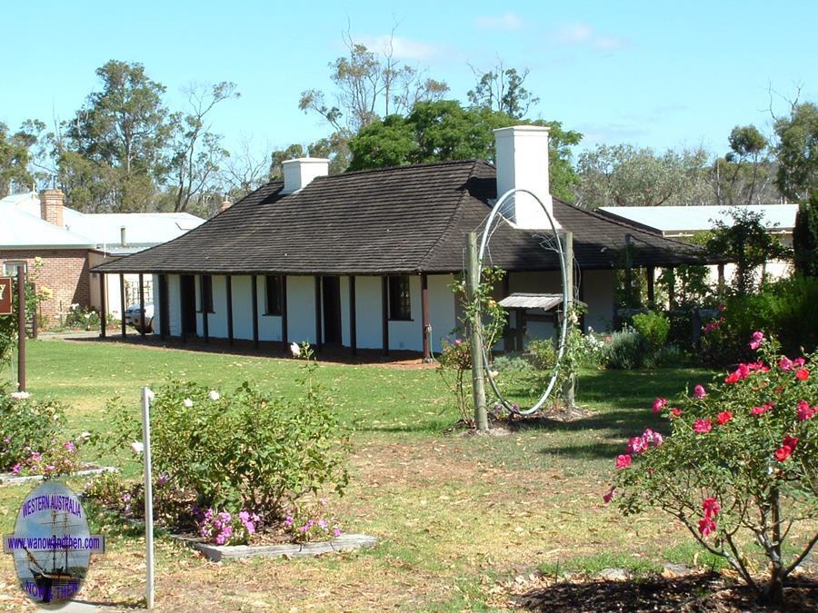
Man made attractions include the chapel and St. Werburghs and the old police station museum.
The museum is far more impressive than it looks as you pass by on the road, in fact it is one of the best rural museums in the state.
Mount Barker is one of the many RV friendly towns in Western Australia and offers free overnight stops for self contained motorhomes and caravans.
There are many other types of accommodation available, including a caravan park, hotel and various farm stay and bed and breakfast properties.
HISTORY
Named by Dr. Thomas Wilson
in honour of his friend Capt. Collett Barker, commandant of the settlement at Albany. Wilson reported that:
'we observed that its banks were covered with luxuriant grass, sprinkled with yellow buttercups which put us in mind of home
and that the 'gently swelling lightly wooded adjacent hills are well adapted for sheep-walks'.
Capt. Barker was killed by Aborigines near the mouth of the Murray River in South Australia in 1831.
The area was first settled in the 1835 by Sir Richard Spencer.
Spencer died in 1839 (one source says he drowned when the boat he was in overturned after piloting a ship out of King George Sound at Albany
but another says he died of a stroke.) but his wife continued to operate the property until her death in 1855. Augusta Spencer (a daughter of Sir Richard and
Lady Spencer) married George Egerton-Warburton and a book about his life called, 'The Way of St. Werburghs' by Dawn Crabb, is available through the Library and
Information Service of W.A. It is worth reading as it gives an excellent insight into the early life of the colony.
George Egerton-Warburton was responsible for the construction of St. Werburghs Chapel.
A track from Perth to Albany was established in 1835 and by 1860 there were enough people using the route to warrant the building of the
Bush Inn. The inn became a stopping point for Cobb and Co coaches but with the arrival of the railway in 1899 its importance diminished.
The town site was formally declared in 1899, although a private site had been established in 1893. By 1910 there were 75 orchards in the area and over time
the emphasis has moved from apples to grapes.
TALL TALES AND TRUE
Bad Spirit Place
There is a tale about the local Aboriginal people (the Noongar) regarding the Stirling Range as a 'bad spirit place' and being
reluctant to spend a night in that area. If anyone has more information on this local belief then we would like to find out more about it. (Thanks to Caroline Horton
for the initial info.)
VIDEO
PROBLEM PLAYING THESE ON FIREFOX?
Turn off Enhanced Tracking Protection
Click the shield icon left of the URL near the top left
Slide Advanced Tracking Protection to OFF
OTHER INFORMATION
ATTRACTIONS
Old police station, Barker Hill lookout, Porongurup Ranges, Old gold mine, Stirling Ranges.
BUILDINGS OF NOTE
St. Werburgh's Chapel 10Km south west. 1872-4, Railway station 1923, Old mining battery 1874, Abbeyholme 1869, The Round House.
FAMOUS SONS AND DAUGHTERS
Ross Ryan (Folk singer)
ELECTORAL ZONES
State : Blackwood-Stirling
Federal : O'Connor
OTHER INFO.
Postcode : 6324
Local Government : Shire of Plantagenet
PHOTOS
Click on a thumbnail to see full sized picture.


