|
|
|||
|
|
|
|
|
|
|
|||
|
|
FRANKLAND
GPS 34 21 47 S 117 04 57 E
|
|||||||||
| ||||||||||
|
|
||||||||||
|
WE NEED YOUR SUPPORT. |
||||||||||
|
|
|
|
|
STATISTICS
SERVICES
CARAVAN PARKS
HOTEL / MOTEL / B and B
|
DESCRIPTION
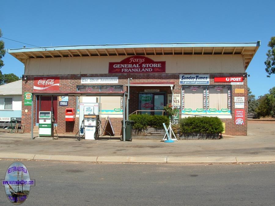
Frankland or Frankland River, is a small town located north west of Mount Barker. It is one of the many 'one horse' towns scattered around the south west and although it does have a caravan facility there really isn't a great deal to see or do in town.
The area around the town produces olive oil, organic produce, raspberries and cool climate wines.
HISTORY
The town takes its name from the nearby river that was named by Dr. Thomas Wilson in 1829 after the Surveyor General of Tasmania, George Frankland. During his exploration of the area Wilson climbed (and named) Mt. Lindesay. From the summit he noted three other large hills which he named after the Surveyors General in each colony of Australia (Roe in W.A, Mitchell in N.S.W and Frankland in Tasmania.)
Land was set aside for a town in 1909 and a school was built but development was slow in coming. The town site was not gazetted until 1947. The Name Frankland River was used until 1935 when it was shortened to just Frankland. The full name seems to be back in vogue again as the local government website appears to be using it again.
Early settlers grazed sheep in the area but little developed until after World War II.
TALL TALES AND TRUE
Name too long for sign
The story goes that the local postmaster shortened the name of Frankland River to just Frankland in 1935 because he had a sign post that wasn't long enough to properly accommodate the full name.
MAP
VIDEO
PROBLEM PLAYING THESE ON FIREFOX?
(c) Destination WA
OTHER INFORMATION
ATTRACTIONS
Frankland River, Mount Frankland.
BUILDINGS OF NOTE
Unknown
ELECTORAL ZONES
State : Blackwood-Stirling Federal : O'Connor
OTHER INFO.
Postcode : 6396 Local Government : Shire of Cranbrook
PHOTOS Click on a thumbnail to see full sized picture.
|
|
Become a supporter of this website for just $5 a month
|


