|
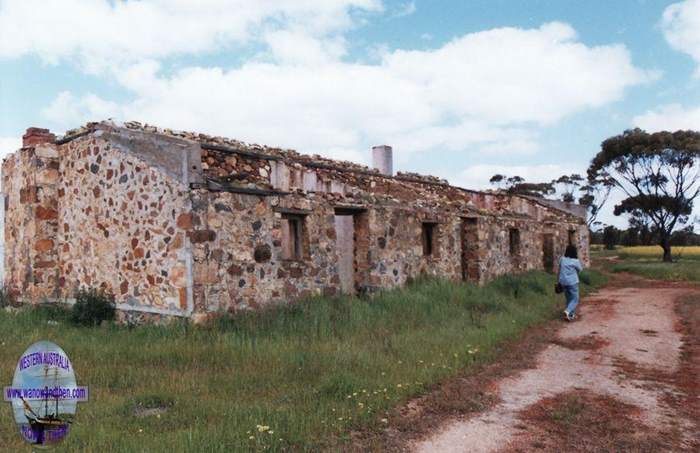
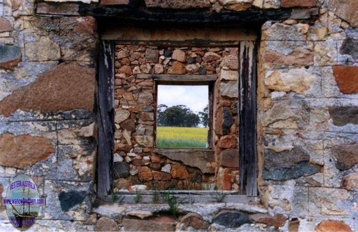
WADDINGTON
30 50' 10.76 S 116 16' 05.97 E
Located on the Great Northern Highway between New Norcia and Walebing.
Buildings at the settlement included the Victoria Plains Hotel (8 rooms + 3 rooms detached), Stable 60ft x 24ft, General Store & Building (6 rooms), Blacksmith's shop
(2 rooms), Carpenter's Shop, Bootmaker's shop, Hall (appeared later) - moved to a farm in Miling and also a racecourse, Sports Club, (Garden, Vineyard - possibly associated with hotel)
Events:
~1871 Victoria Plains Road Board formed.
10-Jan-1887 New Year celebrated by a Cricket Match near the Victoria Plains Hotel on the "worst ground for cricket that I ever saw"
17-Jan-1887 Old man shot in leg by a man supposed to be "under the influence of delirium tremens" at the Victoria Plains Hotel. In the report, it appears that the rooms were shared
(3 men in this case). "Bar Parlour" keeper was Mr John Brown. The offender was sentenced to 8 years gaol in the Supreme Count (31-Mar-1887).
Feb May-1888 Many advertisements promoting Wongan Goldfields placed by John Brown, Waddington, Victoria Plains
19-Dec-1888 Gold was reported as discovered in the Wongan Hills, 30 miles east of Waddington.
26-Dec-1888 Waddington Boxing Day Athletic Sports
04-Mar-1890 Advertisement for sale of Blacksmith and Wheelwright's shop with Cottage. Apply to John Brown Victoria Plains Hotel, Waddington
08-Apr-1891 Victoria Plains Racing Club Meeting
08-Aug-1891 First Annual Ploughing competition held at Mr John Brown's field, Waddington, Victoria Plains
1892 Midland Railway completed
25-Feb-1893 Mortgagee's sale incl. Victoria Plains Hotel (8 rooms + 3 rooms detached), Stable 60ft x 24ft, Store & Building (6 rooms),
Blacksmith's shop (2 rooms), Carpenter's Shop, Garden, Vineyard, Bootmaker's shop, "known as Waddington Townsite", Victoria Plains.
07-Oct-1898 Education District registration for 21-Aug-1902 Victoria Plains Farmers Association held its 11th Annual ploughing competition at Waddington.
~1904 Liquor License lapsed due to poor state of Hotel.
04-Dec-1907 Liquor Licence application by A.C.Norwood for wayside house previously called Victoria Plains Hotel refused.
10-Jun-1908 Liquor Licence application by A.C.Norwood for wayside house refused.
11-Mar-1914 Victoria Plains Racing Club licence disqualification, due to racing without a licence, removed.
29-Apr-1917 Reported that Private C. Norwood, wounded in France. Parents reside at Waddington.
Aug-1925 Railway to Miling completed.
08-Sep-1927 Victoria Plains Racing Club renamed Waddington Racing Club.
26-Feb-1930 Victoria Plains Race Meeting held at Waddington.
31-Dec-1927 Waddington Sports Committee Race Meeting.
26-Nov-1932 Victoria Plains R.S.L. held a dance at the Waddington Hall.
31-Dec-1933 Annual meeting of the Victoria Plains Race Club held at Waddington.
03-Oct-1931 Victoria Plains Agricultual Society postponed its next annual show, to be held at Waddington, for 12 months.
31-Mar-1936 A 21st Birthday Party was held at the Waddington Hall.
25-Sep-1937 (at Waddington ) Annual show of the Victoria Plains Agricultural Society.
24-Sep-1938 Victoria Plains Agricultural Society show day and evening ball.
12-Apr-1951 Victoria Plains Agricultural Society renamed Waddington Agricultural Society'
Information on Waddington kindly compiled by Peter Gee.
More information : State Heritage


WADGINGARRA
7 km south east of Carlaminda.
Gold mining town.
Gold was first found here by Eaton, Brownrigg and Murphey in 1894.
WALGOOLAN
21 22 33 S 118 33 53.57 E
Located between Carrabin and Burracoppin on the Great Eastern Highway.
Originally a railway siding that was established in the mid 1890s.
Townsite gazetted in 1923.
The name is of Aboriginal origin and is said to mean 'place where short bushes grow'.
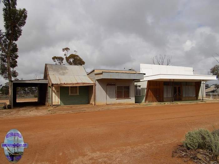
The town was abandoned in the 1940s.

WARRIEDAR
29 08 03.64 S 117 10 37.53 E
Gold mining area.
Known to be in existence from about 1920-1923.
WATEROUS
32 54' S 115 59' E
10 km south east of Waroona on McKnoe Brook.
Timber mill.
Mill built in 1897 and townsite developed in 1907.
The townsite name came from the sawmill which was named after the single cylinder steam engine made by the Waterous Engine Works of Brantford, Ontario, Canada.
Mill closed 1909.
A large water wheel on the brook (constructed by Thomas Vickery Johns) was removed in 1973.
WAVERLEY
Previous name of SIBERIA.
WELLINGTON TIMBER MILL
11 km east north east Boyanup Junction on Ferguson Road.
Timber milling in this area dates from 1891.
The mills closed down in August 1899 and then re-opened in October 1900.
Operations continued until 1946.
WHITE FLAG
Previously named 21 MILE.
5.5 km Coolgardie.
WHITE WELL
The the intersection of the old road from Sandstone to Mount Magnet crosses the Number 1 Rabbit Proof Fence.
WHITTACKERS TIMBER MILL
5 km south east of North Dandalup Dam.
Operated from about 1904 to 1944 when the mill burned down.

WILD DOG POLICE STATION
See ARGYLE POLICE STATION
WILGA RAILWAY SIDING
See WILGA TIMBER MILL.
WILGA TIMBER MILL
33 41.6' S 116 13.8' E
Dates from around 1915 and operated until 1984.
WILLOWDALE FORESTS DEPARTMENT SETTLEMENT
Located by the Millars Brothers company railway line east of Yarloop.
WILROY
Previously called ONTERU.
28 38' S 115 38' E
41 km south east of Mullewa.
Railway siding.
Dates from 1913 when it was named Onteru. In 1915 it was changed to Kockatea but in 1921 it changed again to Wilroy.
The name may originate from the names of two settlers, William and Roy Duncan.The townsite is now a nature reserve.
WINDANYA
30 22' S 121 15' E
48 km north north west of Kalgoorlie on the road to Menzies.
Gold mining town.
Gold was discovered in the mid 1890's. The townsite was gazetted in 1897.
WOODARRA
Previously called DARLOT or LAKE DARLOT.
27 56' S 121 18' E
80 km west of Leinster.
Gold mining town.
Gold was discovered in the mid 1890's.
Townsite was surveyed in 1896.
The townsite was gazetted in 1898.
An old cemetery can be found north of Melrose station.
WITTENOOM
22 14' 17" S 118 19' 52" E
See Wittenoom page.
WOODLEY'S FIND
Early name for ROTHSAY.
WOOLADDIE
Located near Menzies.
Dates from around 1899.
WOOLGAR
Original name for YUNNDAGA.
WOOLGERONG
27 26 03.74 S 117 23 00.88 E
60 km west of Cue.
Way station Marsh & McKenzie coach company.
WOOLUBAR DAM
Near the now abandoned settlement of Feysville located at the junction of the old Coolgardie and Kalgoorlie roads to Kambalda.
WOOP WOOP TIMBER MILL
6 km north west of the Wilga Railway Siding south of Noggerup.
WRIGHTS TIMBER MILL
3.5 km east of Boyanup. [Some doubt about this location].
WURAMING
32 47.6' S 116 16.8 E
18.5 km from Holyoke on the Hotham Valley State railway from Pinjarra.
Dates from 1913.
Originally called Campbell.
Gazetted in 1924.
WURAMING TIMBER MILL
32 48.4' S 116 16.6' E.
6 km south of Wuraming (above).
Dates from 1913.
WURARGA
28 24 55.04 S 116 17 04.33 E
Located on the former Yalgoo to Mount Magnet railway line.
Railway siding.

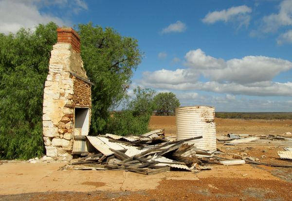
Wurarga (c) Jennifer Harris
![]()
|
